BusTracker App








This is a bus tracking app for UK Bus services using location data from the Bus Open Data Service This app aims to provide users with real-time location data for buses across the UK.
The app can be used to find bus services currently running, information about transport operators, and the locations of bus stops and other transport access locations.
Data Sources
Bus location data: Bus Open Data Service API
Transport operator data: NOC Database
Transport Stop data: National Public Transport Access Nodes API
Dependencies
Open Bus API: Data access
XMLCoder library: Decoding location data
Octokit.Swift: GitHub interactions
The Bus location data is in XML format using the SIRI-VM standard.
Using the App
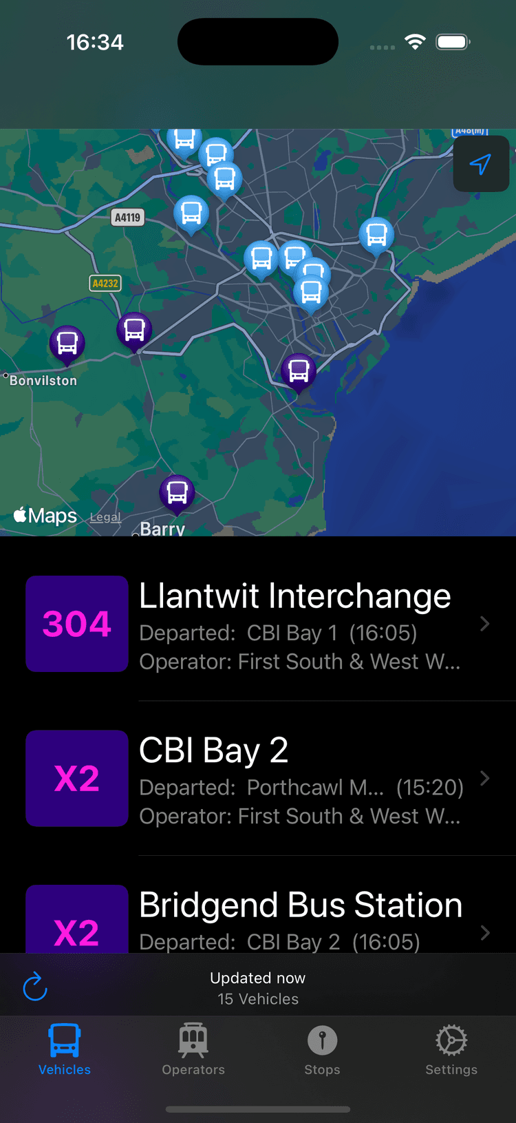
The main view shows a list of vehicles with their current location displayed on the map (see above). Each item in the list displays the bus number, its destination, where it departed from and at what time, and the operator.
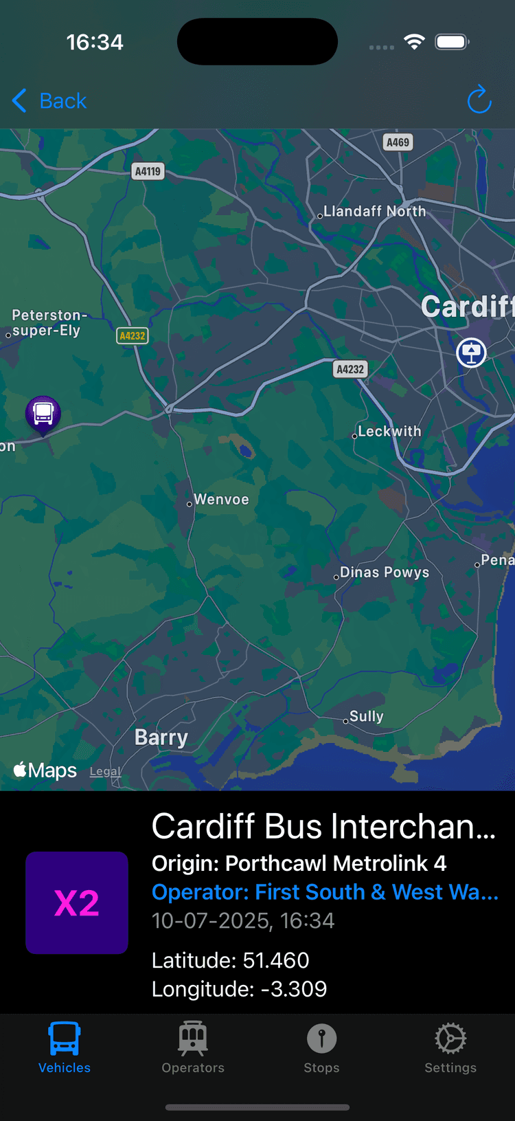
Clicking on an item in the bus list directs the user to a more detailed view about a particular bus (see below). This includes its current location and the location of its destination. More detailed information is provided about its location, origin, and when the information was obtained.
The bus detail view includes a link to details about the bus operator including their website, contact information, and social media (see above).
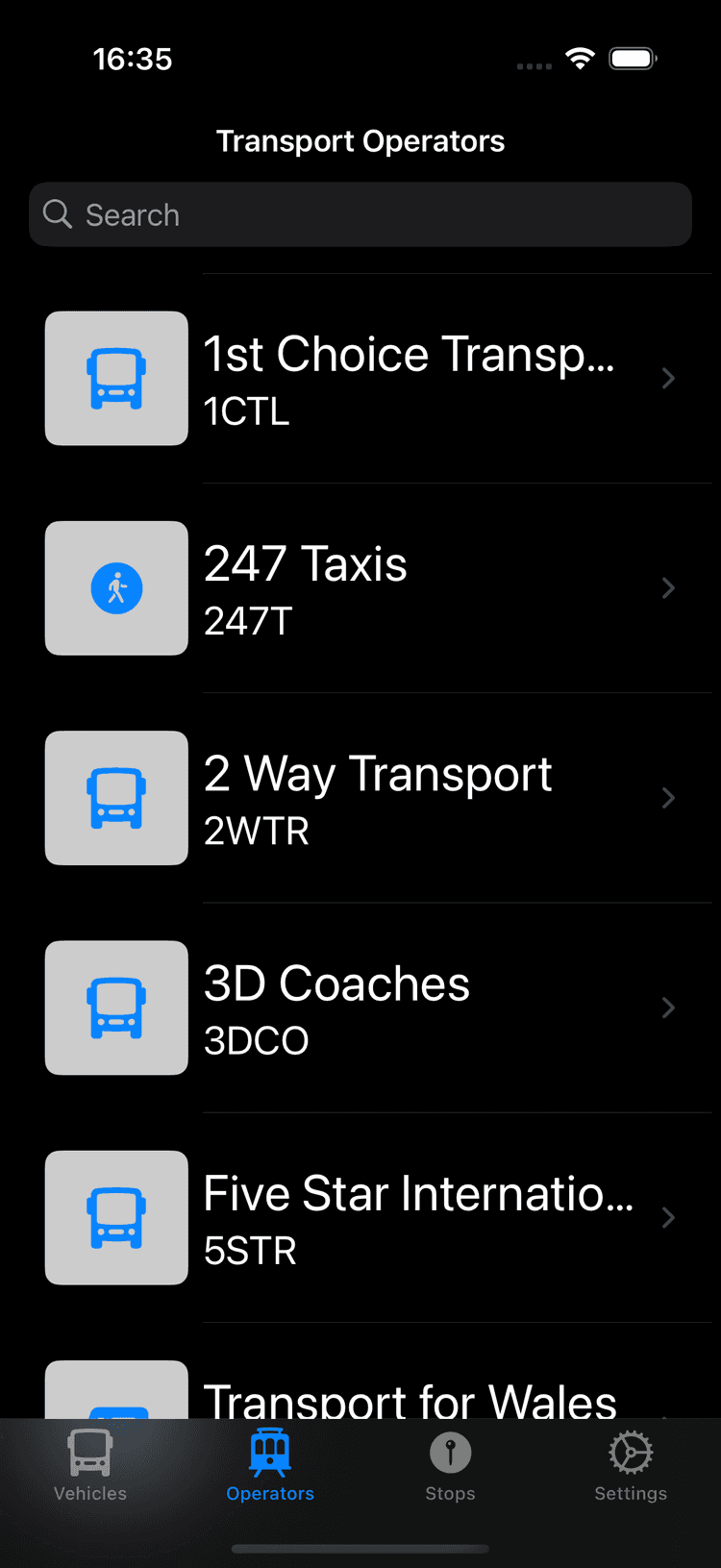
The operators tab (see top) includes a searchable list of all UK transport operators with links to the same detail view as previously mentioned.
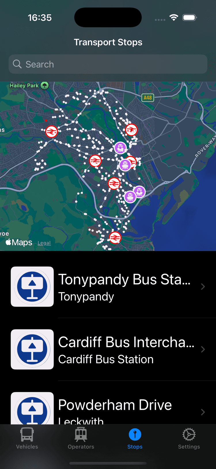
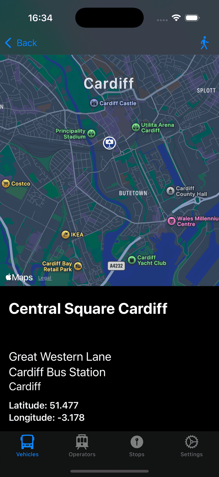
The stops tab provides a view of transport stops in the area and their location annotated by type (see top). Clicking a stop from the list provides a more detailed view of the stop's location.
A settings tab is also included to adjust default settings (this is not advised) and provides information and links.
Acknowledgements
I would like to thank the UK's public transport system for helping me conceive this app. If I had never missed a bus which left early and had to wait half an hour for another, I would never have made this app.
Thank you to anyone who has used the app. If you have any suggestions, issues, bugs, or notes, please report them in the issues tab. these may also be added through the app. If you found the app use, please consider supporting my work: